Professional Contour Survey Services in Canberra
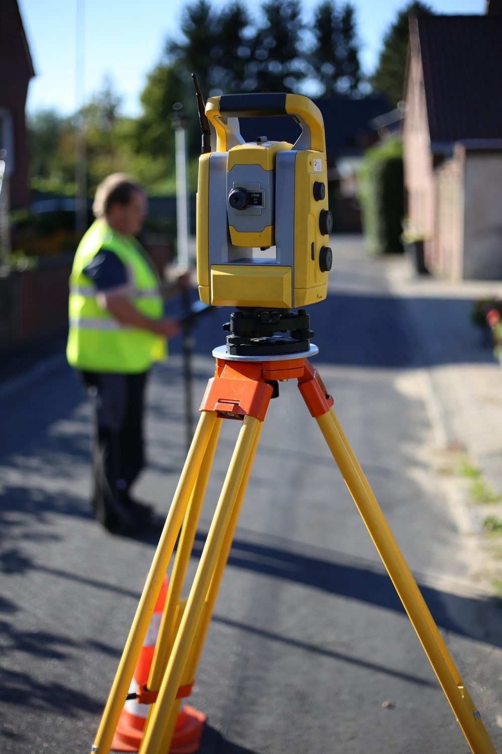
Land Surveys houses the latest technology, coupled with highly skilled staff to deliver cost-efficient services, accuracy, and time. This survey can be rendered in hard copy and digital versions, both of which are fit to satisfy your requirements.
Contour survey features a full detail of the trees, footpaths and other important surroundings within the premises of your land. On top of that, it can come up with descriptions for the adjoining property if need be. As regards the details needed, such depends on the recommendation of the architect and the size of the project. Listed below are some drafted plan records for a contour survey:
Data gathered by the Canberra surveyor is placed to generate a full and detailed plan which is crucial in coming up with accurate information for designers or architects. It aids them in giving you the best design possible for your site, and one that adheres to the local councils. It also secures you against future damages and issues, such as flooding. In completing the survey, the specialists may require:
Included in our services are the best survey positions for buildings, trees, sewerage, draining systems, roads, special features, and levels across the property. Not only that, a country survey can be utilised as the base plan for your design to maximise lot positioning or your subdivision.
Professional contour surveys with the latest technology. Fast, accurate, and reliable service.
Call Now: (02) 5114 2569